Geodata services
The company captures, manages, analyzes, and visualizes geographic information concerning aboveground and belowground components.
Source: LinkedIn company description · Retrieved November 17, 2026

GlobeZenit captures, manages, analyzes, and visualizes geographic information on aboveground and belowground components.
Its mapping methods include 3D laser scanning, mobile mapping, drone mapping, and below-ground mapping.
Based on the company’s public LinkedIn information, supplied through RevenueBase.
The company captures, manages, analyzes, and visualizes geographic information concerning aboveground and belowground components.
Source: LinkedIn company description · Retrieved November 17, 2026
The company uses 3D laser scanning, mobile mapping, drone mapping, and below-ground mapping.
Source: LinkedIn company description · Retrieved November 17, 2026
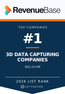
Supported appearances on published RevenueBase lists, including available memberships beyond displayed rankings.
Positions describe ordering within each source list. See how lists are built ↗
Embeddable award for your website
 Open the published source list.
RevenueBase prepared this profile from the company’s public LinkedIn information and RevenueBase company data. These source records were retrieved on November 17, 2026. AI helped summarize these sources, with a separate automated check against the source text completed on November 18, 2026. Directory positions use company-contact counts from separate saved list snapshots dated November 5, 2026 and November 6, 2026. How the company lists are built.
Share a correction, your relationship to the company, and supporting sources. Requests are reviewed before changes are published.
Explore more companies by name, headquarters and business focus.